Marine conservation has long wrestled with a fundamental blind spot: finding where animals actually go in an environment that hides them. For most of the twentieth century, answers relied on ship-based visual surveys, commercial fisheries logbooks, and a generous dose of good fortune. Today, that uncertainty is shrinking beneath a network of orbital sensors. Satellite telemetry turns individual animals into active data broadcasters, while oceanographic satellites map the physical architecture of the water itself—its surface temperatures, chlorophyll concentrations, and sea surface height anomalies. Fusing these two streams delivers something conservation has historically lacked: a real-time, dynamic window into marine animal movements, ecological drivers, and shifting habitats.
Why the Ocean Is a Massive Data Problem
The ocean is immense, three-dimensional, and continuously in motion. A terrestrial ecologist can walk a defined transect to count species and map distributions. A marine ecologist faces a radically different challenge. Most marine vertebrates spend the vast majority of their lives submerged, frequently far offshore, at depths exceeding hundreds of meters, and often crossing international boundaries or unregulated high-seas commons. Traditional vessel-based surveys are cost-prohibitive, temporally restricted, and spatially patchy. Remote sensing and electronic telemetry solve these fundamental constraints because they capture continuous data across vast expanses without requiring a research vessel on station.
How Satellite Tracking Actually Works
Most large marine megafauna carry one of two primary telemetry device classes. Argos platform transmitter terminals (PTTs) are lightweight, energy-efficient, and engineered for longevity. They transmit brief radio-frequency bursts to polar-orbiting satellites, which calculate geographic positions via the Doppler shift of the incoming signal. While positional accuracy can range from hundreds of meters to several kilometers, these tags endure for years, making them ideal for species that breach the surface only briefly.
GPS tags, conversely, deliver high-resolution, meter-accurate fixes by communicating with global positioning satellite constellations. However, they demand substantial battery power and require the animal to spend adequate time at the surface to lock onto multiple satellites. To bridge these technological trade-offs, engineers deploy complementary tools. Pop-up satellite archival tags (PSATs) record ambient light, pressure depth, and temperature over extended periods before detaching, floating to the surface, and transmitting summarized data via Argos. For deep-diving marine mammals, wet-dry sensors and time-depth recorders illuminate behavioral profiles that horizontal positions alone conceal. Telemetry has thus matured into one of the most information-dense biological datasets in marine science, accessible in many cases with minimal latency.
The Oceanographic Layer
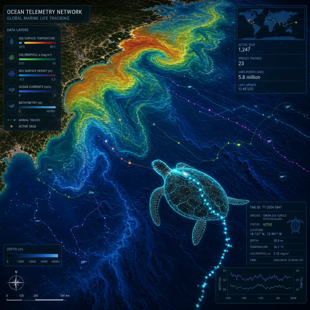
Earth-observing satellites capture a diverse array of physical and biological marine parameters. Infrared and microwave radiometers measure sea surface temperature (SST) fronts. Ocean color sensors quantify chlorophyll-a concentrations, serving as a primary proxy for phytoplankton biomass and the base of the marine trophic web. Radar altimeters measure sea surface height, enabling researchers to map geostrophic currents, meandering loops, and mesoscale eddies. Scatterometers track surface wind vectors, while specialized satellites monitor sea surface salinity.
Beneath this orbital canopy operates an autonomous in-situ fleet of thousands of Argo profiling floats, deep-diving gliders, and moored buoys that resolve subsurface dynamics inaccessible to spaceborne sensors. For conservation science, the real analytical power emerges from multivariate synthesis. Thermal fronts, chlorophyll gradients, and persistent cyclonic or anticyclonic eddies aggregate prey biomass. Marine predators exploit these hydrodynamic features, transforming static telemetry points into predictive ecological models.
Where the Two Datasets Meet
The core innovation in modern marine ecology lies in linking high-resolution animal trajectories with dynamic environmental fields. Researchers extract concurrent oceanographic variables for every spatial and temporal coordinate of an animal’s track, subsequently feeding these inputs into robust habitat suitability models. Generalized Additive Models (GAMs), Boosted Regression Trees (BRTs), and Maximum Entropy (MaxEnt) frameworks are standard, alongside state-space models that separate true behavioral movement from Argos observational error.
Advanced Hidden Markov Models (HMMs) push this further, parsing raw tracks into distinct behavioral states, such as directed transit, localized foraging, or resting. The output transitions from simple point-to-point maps to continuous probability surfaces. When coupled with near-term oceanographic forecasts, these models generate early-warning conservation systems, projecting where vulnerable species are likely to congregate days or weeks in advance.
What Tagged Animals Reveal
Telemetry data consistently overturns assumptions derived from static management. Leatherback sea turtles crossing the open Atlantic track shifting thermal boundaries that fluctuate annually, rendering fixed marine protected areas largely ineffective. Whale sharks navigate to ephemeral plankton blooms and spawning aggregations with astonishing spatial memory. Pelagic seabirds like wandering albatrosses forage along oceanographic convergence zones that satellite sensors detect from orbit days before the feeding hotspots peak.
Astonishingly, several marine species double as physical oceanographers. Southern elephant seals equipped with CTD (conductivity, temperature, depth) sensors dive beneath Antarctic sea ice, transmitting vital profiles that directly calibrate global climate models. This dual return—advancing species conservation while filling critical gaps in oceanographic observing systems—represents one of the most efficient synergies in modern science.
From Maps to Management
Dynamic ocean management operationalizes these predictive models. If scientists can forecast where endangered bycatch species will aggregate next week, fisheries managers can implement temporary gear restrictions or seasonal closures rather than enforcing permanent, economically disruptive area bans. Empirical trials demonstrate that dynamic zoning significantly reduces accidental entanglements while maintaining commercial fisheries access.
A parallel approach governs maritime shipping. Real-time whale telemetry feeds automated collision-avoidance systems, prompting voluntary or mandatory vessel speed reductions in critical migration corridors. Furthermore, aggregated tracking data underpins the design and rezoning of large-scale marine protected areas (MPAs), providing policymakers with indisputable evidence for boundary configurations.
The Hard Parts
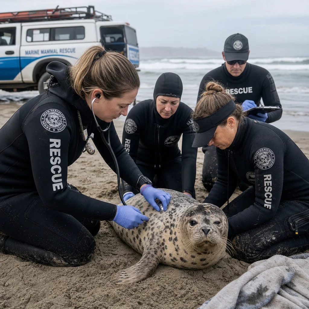
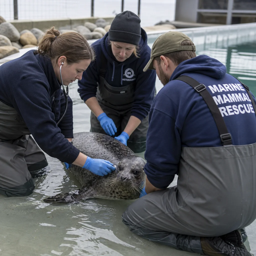
Despite technological leaps, significant challenges remain. Satellite tags are expensive, deployment logistics demand specialized veterinary and capture skills, and individual animal responses vary widely—some tags are shed prematurely or fail due to biofouling. Argos positional data carries inherent error margins that require sophisticated filtering algorithms.
Moreover, sampling bias remains pronounced. Funding and research efforts heavily favor large, charismatic megafauna over elusive benthic invertebrates, small pelagic fish, or deep-sea fauna. Data latency can range from hours to weeks, complicating rapid tactical interventions. Beyond hardware, institutional capacity is unevenly distributed; researchers in developing coastal nations often lack the computational infrastructure required to process petabytes of satellite and telemetry streams. Open-access repositories and collaborative cloud platforms are essential to bridge this divide.
Reading the Evidence Critically
Telemetry studies are visually compelling, yet prone to overinterpretation. A sample of twenty tagged individuals represents a fraction of a population, and capture biases mean those individuals may not reflect broader demographic behavior. Furthermore, the telemetry hardware itself can induce drag, subtly altering energy expenditure or diving performance in smaller species.
Conservation policy built upon limited telemetry datasets requires rigorous cross-validation using independent data sources, such as traditional visual surveys, genetic stock assessments, or fisheries observer records. Robust conservation programs bake validation protocols into their initial design rather than treating them as retrospective add-ons.
Building a Programme That Lasts
Successful, enduring tracking initiatives share common operational traits. They deploy tags to answer specific ecological or management hypotheses rather than for exploratory novelty. They budget for complete data lifecycles—ensuring raw tracks and standardized metadata find permanent homes in open archives like Movebank. Crucially, they engage local resource managers and fishers from day one, establishing clear thresholds for how empirical findings will trigger policy adjustments.
What Comes Next
The horizon of marine conservation technology is accelerating rapidly. Miniaturized sensors now bring seabirds, smaller elasmobranchs, and pelagic teleosts into telemetry networks. Edge computing allows onboard microprocessors to run onboard behavioral algorithms, transmitting concise analytical summaries instead of continuous raw coordinates, thereby conserving battery life and bandwidth.
Artificial intelligence is transforming behavioral classification, while environmental DNA (eDNA) sampling provides an entirely non-invasive layer of presence data. Ultimately, the defining breakthrough is systemic integration. When satellite telemetry, ocean color data, radar altimetry, and vessel tracking systems (AIS) converge within unified cloud GIS platforms, conservation transitions from reactive guesswork to proactive stewardship. The ocean will always remain vast and opaque, but through the union of satellite tracking and oceanography, it is no longer beyond our understanding.
“