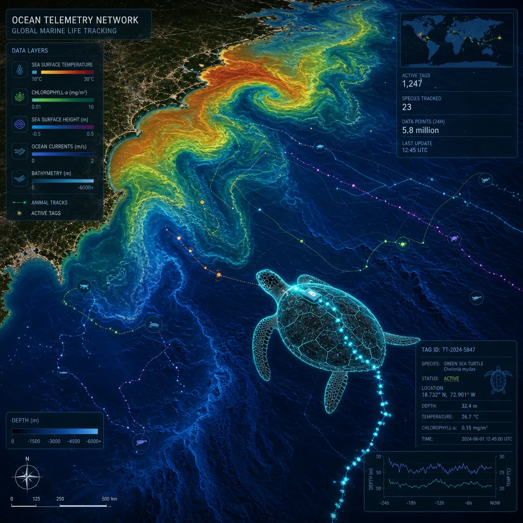
Coastal waters represent some of the most dynamic, volatile, and biologically productive ecosystems on Earth. Encounters with marine fauna in these intertidal and shallow sub-tidal zones typically occur under conditions that resist straightforward laboratory control, easy replication, or accurate prediction. A bottlenose dolphin surging alongside a survey skiff, a juvenile blacktip reef shark patrolling a shallow seagrass bed, or a green sea turtle resting beneath a rocky overhang all constitute fleeting observational windows that routinely close within a matter of seconds. Documenting such encounters in a scientifically rigorous and legally defensible manner demands vastly more than opportunistic curiosity and a digital camera. It requires a highly structured methodology that carefully balances scientific rigor with the unavoidable operational realities of working in a fluid, turbid, and heavily weather-dependent marine field environment.
Defining Ecological Questions and Selecting Survey Sites
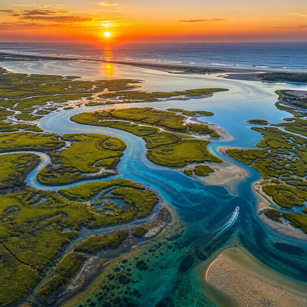
Rigorous field research begins long before investigators step onto a vessel or pull on a wetsuit. Researchers must formulate a precise, testable question—such as assessing presence-absence, estimating relative abundance, quantifying spatial distribution, analyzing fine-scale behaviour, or evaluating anthropogenic interactions. The core objective dictates the entire sampling design. Site selection must strategically marry ecological relevance with strict logistical feasibility. Key variables include access points, tidal windows, vessel draft limits, fuel ranges, and safety margins. Stratified random sampling remains the gold standard for large-scale coastal distribution studies. In this approach, the coastline is segmented into discrete habitat strata—such as exposed sandy beaches, high-energy rocky shores, mangrove fringes, seagrass meadows, and estuarine channels—with survey units randomly allocated within each stratum. When funding or time is restricted, establishing a fixed network of permanent transects allows for repeated visits and robust temporal comparisons, which consistently yield higher analytical value than broad, inconsistent spatial coverage.
Standardizing Observation Protocols
Consistency is the primary currency of empirical field research. Every team member must adhere to a strict written protocol that explicitly defines search effort, scan intervals, observation arcs, and the precise distance thresholds at which an encounter is officially logged. Timed active scans—for instance, a strictly enforced ten-minute observation window at predetermined station markers—allow search effort to be mathematically quantified. This converts raw, unstandardized animal counts into reliable encounter rates (e.g., sightings per unit effort or SPUE). Recording exact compass bearings, radial distances, and initial behavioural states at the exact moment of detection prevents retrospective confirmation bias from corrupting the dataset. Protocols must explicitly define what constitutes an independent encounter, how to manage repeated sightings of the same habituated individual, and how to tally solitary animals versus complex social groups. Conducting mandatory pilot testing in sheltered waters helps calibrate observer skill levels and exposes methodological ambiguities before the primary field season commences.
Underwater Visual Census Methodologies
For sub-tidal and benthic investigations, underwater visual census (UVC) remains the most widely deployed survey approach, though each technique introduces specific biases. Belt transects of standardized length and width yield absolute density estimates per unit area but demand exceptional spatial judgment from divers to avoid edge-effect errors. Point-intercept or point-count methods minimize the confounding influence of swim speed but often undercount small, cryptic, or highly mobile organisms. Observers must undergo rigorous pre-season training, practicing length estimations against submerged reference objects and recording a horizontal visibility index during every drop. Diver-induced biases—ranging from avoidance behavior in heavily fished species to artificial attraction in curious predators—must be acknowledged, and a mandatory three-minute settling period upon reaching the benthos helps mitigate disturbance. All UVC metrics must be directly coupled with high-resolution depth profiles, benthic substrate classification percentages, and in-situ water temperature recordings, as these environmental drivers dictate local reef assemblage structure.
Photo-Identification and Visual Documentation Standards
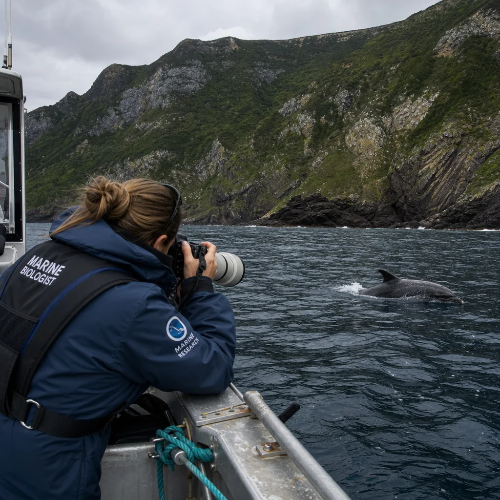
Digital photography functions simultaneously as a permanent archive and a primary quantitative dataset. For species bearing natural, non-repeating phenotypic markers—such as cetacean dorsal fins, elasmobranch lateral scars, sea turtle facial scutes, or seahorse crown patterns—photo-identification enables robust mark-recapture modeling without the risks of physical capture or handling. Every image file must be immediately cataloged with precise UTC timestamps, high-precision GPS coordinates, and contextual encounter metadata. Furthermore, images require rigorous quality-grading (focus, contrast, angle, proportion) to ensure marginal shots do not distort population estimates. Standardized framing, fixed focal lengths, and polarized filters significantly improve cross-season matchability across different observers. Video footage provides invaluable behavioural context but must be time-synchronized with master logs. Implementing a rigorous file-naming convention linked directly to physical field sheet numbers prevents the all-too-common catastrophe of an unsearchable image library.
Passive Acoustic and Remote Monitoring Integrations
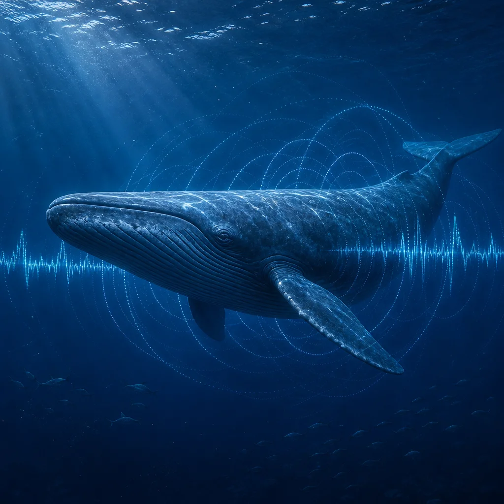
Field encounters are not limited to what human eyes can perceive during daylight hours. Passive acoustic monitoring (PAM) utilizing deployed hydrophones allows researchers to record cetacean vocalizations, fish choruses, and ambient anthropogenic noise over continuous weeks, vastly extending temporal coverage beyond daylight and calm weather constraints. Baited remote underwater video stations (BRUVS) effectively sample cryptic, shy, or deep-dwelling coastal species while standardizing sampling gear across geographically disparate sites. Concurrently, environmental DNA (eDNA) collection from seawater samples provides an increasingly sensitive, non-invasive indicator of species presence, perfectly complementing visual surveys. Each technology possesses a distinct detection probability envelope; synthesizing them into a multi-method monitoring framework yields a holistic ecological assessment, provided individual sampling efforts are rigorously logged.
Recording Comprehensive Environmental Covariates
An encounter record stripped of its physical context holds minimal analytical value. Essential environmental covariates include sea surface temperature (SST), practical salinity, turbidity levels, tidal stage, significant wave height, barometric pressure, cloud cover percentage, wind velocity, and solar altitude (time relative to dawn and dusk). While handheld multiparameter sondes, Secchi disks, and standardized turbidity scales cover basic requirements, the ultimate rule of field discipline is that physical parameters must be recorded simultaneously with biological detections. Metadata structures must also capture observer IDs, platform types (shore-based, kayak, rigid-hull inflatable boat), exact duration of active searching, and any equipment recalibrations. Enforcing a strictly controlled vocabulary for habitat types and behavioural ethograms prevents the gradual semantic drift that silently ruins multi-year longitudinal datasets.
Ethics, Animal Welfare, and Legal Compliance
Coastal marine research inevitably intersects with strict protected species legislation, federal and local permitting frameworks, and evolving animal welfare expectations. Field personnel must maintain species-specific approach distances, strictly prohibit active pursuit of distressed animals, minimize engine RPMs near resting or nursing individuals, and immediately terminate any encounter that triggers defensive or flight behaviour. Research operations must comply with local maritime navigation laws, marine sanctuary rules, and workplace safety mandates. Field teams are legally and morally obligated to maintain comprehensive risk assessments covering rapid weather shifts, extreme tidal currents, hypothermia, and emergency communication breakdowns. True ethical fieldcraft requires professional restraint: not every sighted animal needs to be chased or framed, and the most valuable scientific contribution is frequently a meticulous record of undisturbed natural behaviour observed from a respectful distance.
Citizen Science and Local Ecological Knowledge Integration
Coastal marine encounters are witnessed with vastly higher frequency by recreational fishers, boaters, and surfers than by dedicated academic research teams. Structured citizen science initiatives can exponentially expand both spatial and temporal monitoring coverage, provided they are engineered with rigorous data verification pipelines. Essential framework elements include intuitive species identification guides, mandatory photographic verification, mandatory zero-catch effort reporting (so true absence is never confused with non-reporting), and a multi-tiered validation matrix where certified taxonomists confirm records. Regular community feedback loops and public recognition build essential local trust. Crucially, opportunistic citizen reports must be managed as a distinct data stream, separated from systematic surveys to prevent severe sampling bias corruption.
Data Management, Quality Assurance, and Archival Integrity
Field data must be digitized, backed up to off-site cloud storage, and version-controlled within 24 hours of collection, never left to accumulate for months. A robust relational database structure—linking tables for encounters, individual focal animals, physical stations, and environmental readings—supports complex multivariate spatial analyses. Automated quality-control scripts must instantly flag anomalies such as GPS coordinates on land, physically implausible dive depths, or duplicated encounter IDs. Archiving finalized datasets in recognized repositories (such as OBIS or GBIF) using digital object identifiers (DOIs) satisfies modern institutional funder mandates and fosters open-science collaboration. Formal reporting must explicitly display search effort alongside raw animal counts, frankly state methodological limitations, and clearly separate direct observation from speculative inference. Transparent methods sections transform raw coastal sightings from entertaining anecdotes into undeniable scientific evidence.
Building a Resilient and Repeatable Field Routine
Advanced methodologies succeed or fail based on how well they survive contact with exhausted research crews, torrential rain, unexpected equipment failures, and rough seas. Mandatory pre-dawn gear checklists, weather-proof laminated field sheets, redundant power supplies, and formalized team handovers keep standard operating procedures intact under physical pressure. Daily evening debriefs capture subtle behavioural notes while memories remain vivid, and maintaining an evolving protocol modification log establishes a transparent audit trail for future seasons. Over time, these disciplined routines transform chaotic, isolated sightings into a coherent, highly dependable longitudinal record capable of driving evidence-based conservation planning, environmental impact assessments, and marine policy decisions.
Ultimately, executing field research on coastal marine encounters is an uncompromising exercise in disciplined observation. Specialized hardware and high-end cameras matter far less than the unwavering consistency of the observation protocol, the meticulous completeness of the metadata, and the absolute intellectual honesty of the reporting. Whether a research team is quantifying reef fish abundance along a 50-meter transect, photo-matching migrating humpback flukes, or logging acoustic signatures via an offshore hydrophone, the core principles remain absolute: define the core question, standardize the search effort, record every environmental covariate, respect the marine life, and ensure the resulting data remains fully verifiable and reusable. Coastal waters will perpetually remain untamed and unpredictable; it is the rigor of the methodology that transforms transient sightings into enduring scientific knowledge.